
Chatham County ZIP Coverage
Chatham County postal geography stretches from Bloomingdale and Pooler in the west to Tybee Island on the coast. Savannah ZIPs cover the historic core, southside, islands, industrial districts, military land, and unincorporated places. The table is a practical coverage index, not a legal boundary map. USPS routes change, and no official static all-county list was located in the research, so verify each full address before relying on a ZIP code.
| ZIP | Main area served | Postal identity | Local caution |
|---|---|---|---|
| 31302 | Bloomingdale and western county | Bloomingdale | Verify an edge address |
| 31322 | West Chatham | Pooler | Use mapped jurisdiction |
| 31328 | Tybee Island and Fort Screven | Tybee Island | Island coverage |
| 31401 | Downtown and east-central Savannah | Savannah | Historic ward geography also matters |
| 31402, 31403 | Post-office boxes | Savannah | No residential parcel footprint |
| 31404 | East Savannah and Thunderbolt vicinity | Savannah | City-line mismatch |
| 31405 | West Savannah and midtown | Savannah | City and unincorporated areas |
| 31406 | Southside and Sandfly | Savannah | Broad postal area |
| 31407 | Northwest and Port Wentworth edge | Savannah | Growth corridor |
| 31408 | Garden City and airport area | Savannah | Includes records-center ZIP |
| 31409 | Hunter Army Airfield | Savannah | Unique military ZIP |
| 31410 | Wilmington and Whitemarsh islands | Savannah | Postal name is not city proof |
| 31411 | Skidaway Island | Savannah | Island community |
| 31412, 31414, 31416, 31418, 31421 | Post-office boxes | Savannah | Do not map as neighborhoods |
| 31415 | West Savannah | Savannah | Neighborhood and industrial edge |
| 31419 | South and southwest county | Savannah | Large mixed jurisdiction |
| 31420 | Georgetown, Windsor and southwest coast | Savannah | Includes unincorporated land |
| 31499 | Unique addressee | Savannah | Verify institution and address |
PO-box and unique ZIPs are not neighborhoods. They may receive mail for an institution or a box holder without defining a group of homes. A Chatham County ZIP code directory must therefore separate delivery labels from physical parcel areas.
Verify Chatham County Postal ZIPs
USPS is the source for a delivery ZIP, while SAGIS supplies local physical geography. Enter a complete deliverable address in the USPS ZIP Code Lookup. The city-and-state mode finds ZIPs associated with a postal city; the address mode is better for one property.
| USPS control | Use in a Chatham County ZIP lookup |
|---|---|
| Find by Address | Returns the delivery ZIP for a complete street address |
| Find by City and State | Shows ZIPs associated with a postal place name |
| Street Address | Use the official number, street and suffix |
| City and State | Tests the preferred postal city, not legal jurisdiction |
| ZIP Code | Supports the reverse lookup mode when available |
The USPS tool provides the authoritative first check.
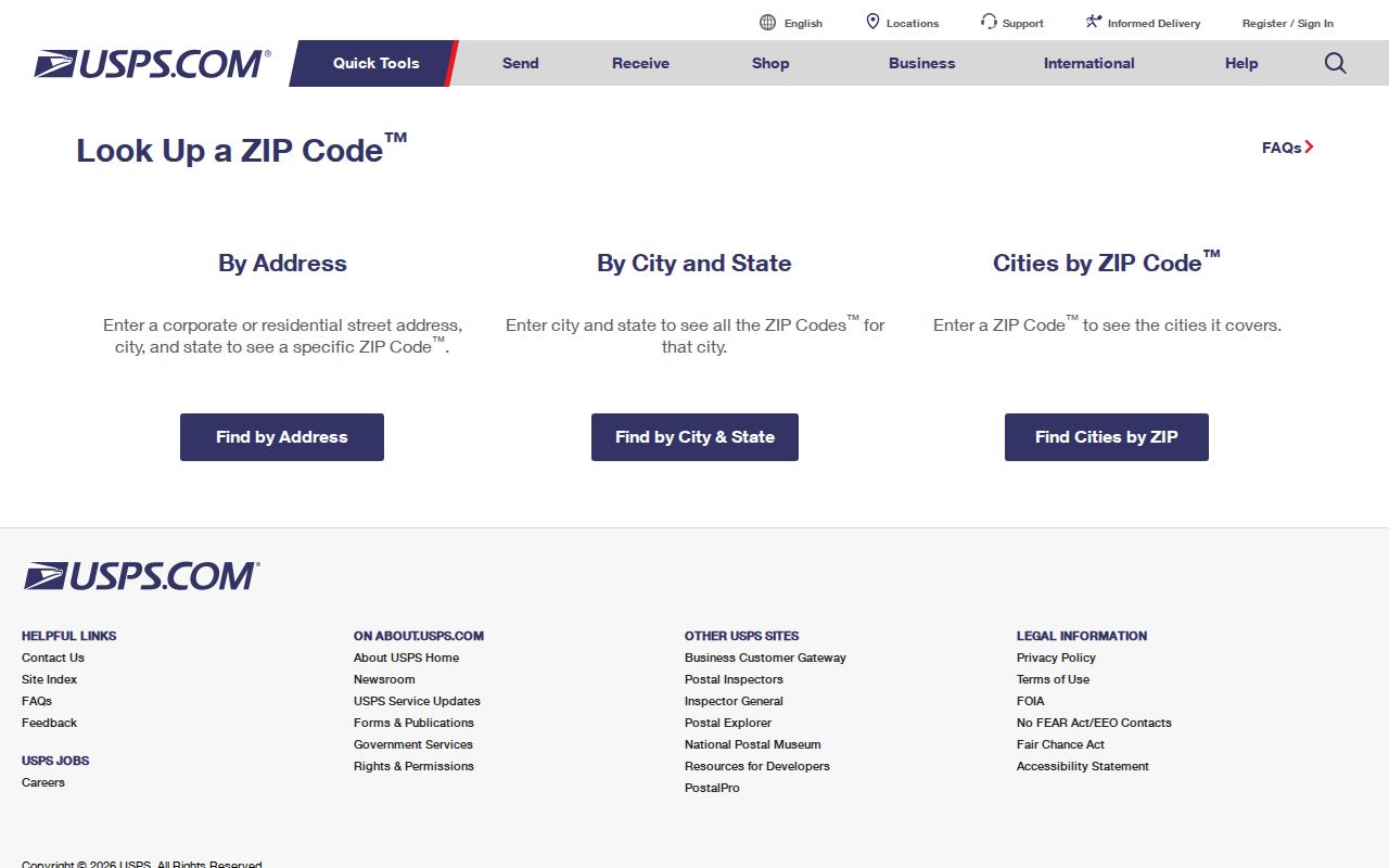
Carry that result into SAGIS instead of assuming the preferred postal city controls local records.
Chatham County ZIP Geography
The county's ZIP pattern reflects its physical shape. Tybee Island uses 31328. Wilmington and Whitemarsh islands appear under 31410, while Skidaway Island uses 31411. Western Chatham shifts to Bloomingdale's 31302 and Pooler's 31322, and the Port Wentworth edge meets 31407. These postal divisions do not erase municipal or unincorporated boundaries.
Southside ZIPs need the same care. The 31406, 31419 and 31420 areas cross or touch differing jurisdictions. A person may write Savannah in the mailing line while the parcel lies beyond Savannah's city government. That distinction controls which agency keeps permits, code cases, police records and local open-record files.
Note: Use ZIP geography to narrow a search, then use a parcel map to identify the government that holds the local record.
Chatham County ZIPs and Old Addresses
Modern ZIP codes do not solve an old Savannah address. Historic downtown deeds may describe a ward, tything or trust lot. Later subdivisions often use lot and block. A legal description can carry the same property across a street-number or postal change when the modern ZIP did not yet exist.
The Savannah Municipal Archives research guides connect address work to building, genealogy and neighborhood sources.
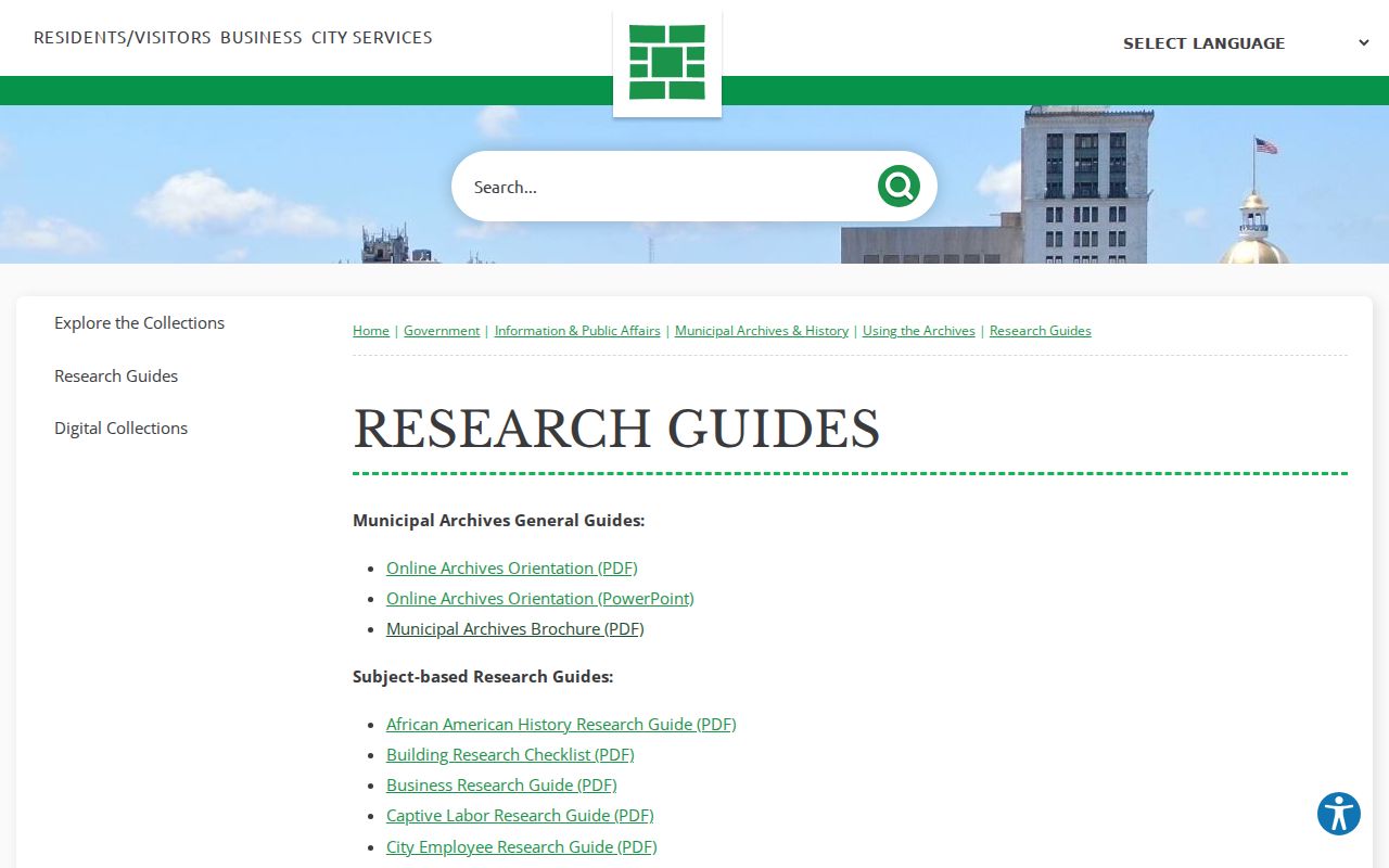
For an older resident trail, pair the guide with directory street indexes and Sanborn maps rather than forcing a present ZIP onto a historic source.
Find Chatham County Residents by ZIP
No verified county portal offers a complete resident search by ZIP. The assessor displays situs and mailing postal data but has no confirmed countywide ZIP dropdown. Georgia's voter-list order can be scoped by county, municipality, district or precinct, not by an anonymous My Voter Page browse. The useful path is a sequence of official tools.
- Verify the full street address and delivery ZIP in USPS. Do not use a box ZIP as a residential area.
- Locate the address in SAGIS, turn on municipal boundaries, and record the parcel and jurisdiction.
- Open the Chatham County Board of Assessors record. Keep situs ZIP, owner mailing ZIP and parcel PIN as separate fields.
- Use a lawfully ordered voter file only for registered presence, keeping VoteSafe addresses and excluded fields protected.
- Once the result is down to one road, use the Chatham County street directory workflow for address-level records.
This process does not turn property owners into occupants. A parcel card shows title and assessment facts. A voter entry shows registration. Neither is a full list of all people living at an address.
Map Chatham County Place Context
ZIP boundaries answer mail questions, but Savannah's archives also organize place-linked memory. The city's StoryRoots project is a map-driven community-history resource launched as archival finding aids expanded.
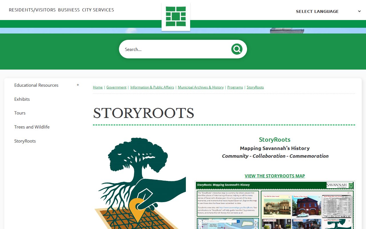
StoryRoots adds local context to a place, but USPS and SAGIS still control the postal and jurisdiction checks needed for current records.
The Savannah Clerk of Council holds minutes, ordinances, contracts, cemetery deeds and board records reaching to 1787.
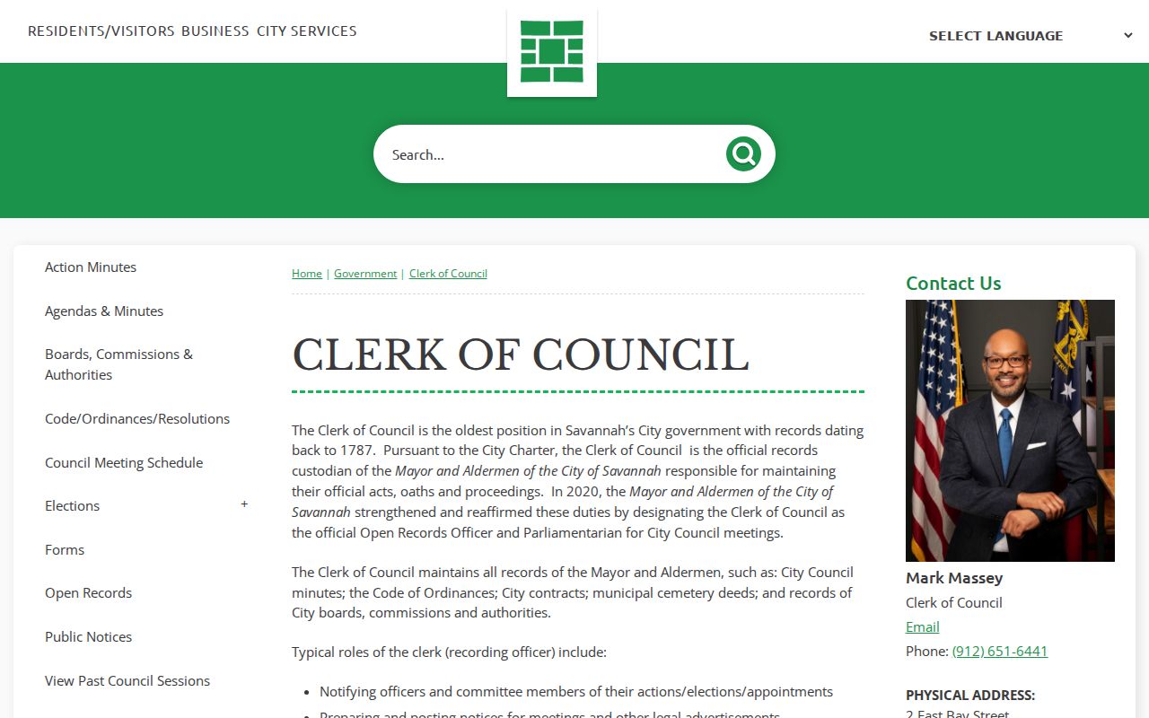
Those records may explain an annexation, street action or city decision, though they do not define a USPS delivery route.
Compare Chatham County Address ZIPs
A parcel record can display two valid but different postal facts. The situs address locates the land. The owner mailing address receives assessment correspondence and may be elsewhere. A different mailing ZIP can belong to an estate, trust, managing entity or owner who receives mail away from the parcel. It does not identify who occupies the property.
For a ZIP code directory search, record both fields with labels. Pair the situs address with the parcel PIN and mapped jurisdiction. Pair the mailing address only with the assessed owner shown on that dated roll. This small distinction prevents a large error when a name search crosses county or state lines.
Chatham County ZIPs Versus City Limits
A postal city is part of a mailing address, not a statement of municipal government. The best local example is the Savannah identity used on islands and unincorporated Chatham land. The 31404 area also reaches the Thunderbolt vicinity, while 31405, 31419 and 31420 span mixed city and county settings. Use SAGIS municipal boundaries before choosing a permit, code or city-record custodian.
These terms explain why a Chatham County ZIP code directory and a jurisdiction map can give different answers.
- ZIP and ZIP+4
- A ZIP identifies a broad delivery area; the extra four digits narrow mail sorting to a smaller segment.
- PO-box ZIP
- A code used for post-office boxes, not a residential parcel footprint.
- Unique ZIP
- A code assigned to a large organization or special addressee, such as a military facility.
- Carrier route
- A postal delivery path that can cross boundaries people think of as neighborhoods.
Boundary check. Verify the ZIP with USPS, then verify the municipality in SAGIS before sending a local records request.
Route Chatham County ZIP Requests
After the boundary check, send the request to the office that holds the specific record. Savannah's citywide open-record portal handles many city records, while police and fire use distinct routes. Unincorporated Chatham permits belong to county departments. Property assessment stays with the Board of Assessors, deeds stay with the Superior Court clerk, and delivery ZIP questions stay with USPS.
When no search exists, ask for a named existing file by address, department and date range under the Georgia Open Records Act, O.C.G.A. § 50-18-70 et seq. The response period is three business days under § 50-18-71, but an agency does not have to create a new ZIP-by-resident analysis. A narrow request for an existing permit, parcel card or case is more useful.
A ZIP code directory narrows geography. It does not replace the source office, prove residence, or turn a postal zone into a city boundary.
For a west-county address, check whether the mapped point is in Bloomingdale, Pooler, Garden City, Port Wentworth, Savannah, or unincorporated Chatham before seeking a local file. For an island address, make the same check rather than treating the Savannah mailing line as the answer. The correct government level may change even when two nearby properties share postal wording.
Save the USPS result, a SAGIS parcel identifier, and the municipal boundary shown on the map. Then state the record sought in plain terms. A request for an existing permit at one address is specific. A request asking an agency to identify everyone in a broad postal area calls for an analysis the office may not maintain and does not have to create.
Dates matter as well. Current parcel and postal displays should not be projected backward into older records. Historic ward, lot, block, street-index, and Sanborn evidence may be the only reliable bridge for a past address. Label each result with its source and date so later changes do not blur the finding.