
Walk a Chatham County Street
A reliable Chatham County street directory search moves from the address to a parcel, then from the parcel to dated records. Ownership is public through the assessment roll and deed index. Occupancy is a different question. A city directory can place a named person at an address in its publication year, while a voter file shows registration evidence subject to legal limits. Neither proves who is inside a home today. Keep the source date and the role beside every name.
- Enter the full address in the Chatham County Board of Assessors search. Save the owner, situs address, mailing address, PIN, legal description, exemption, and sale reference.
- Find the same point in SAGIS. Turn on parcels and municipal boundaries, then inspect both sides of the street one polygon at a time.
- Use the deed reference or owner and sale date in GSCCCA. The seller on the current deed becomes the next name to search as an earlier grantee.
- For registered presence, use a lawfully ordered Georgia voter file. My Voter Page verifies one voter but does not browse a street.
- For an older household, read the Savannah directory street index by house number and nearest cross street.
This flow keeps parcel owners, deed parties, registered voters, and directory occupants separate. When the goal shifts to one named person rather than the whole road, the Chatham County resident lookup provides the narrower verification method.
Search Chatham County by Address
The Chatham County Board of Assessors Records Search is the strongest current address pivot. Its GIS Enhanced system offers property, comparable-sales, sales, and map modes. Start with fewer terms if a street suffix or unit blocks a match. A parcel card may return the PIN, owner, mailing and situs addresses, legal description, lot or subdivision, property class, acreage, values, sale and deed references, year built, structural facts, exemptions, and an assessment-notice link.
| Search control | Input | Required | Best use |
|---|---|---|---|
| Owner Name | Text | No | Search a surname or entity with few terms |
| Property Address | Text | No | Use number and street; retry without suffix |
| Parcel/PIN | Text | No | Retrieve one exact parcel |
| Subdivision | Select or text | No | Narrow advanced or comparable searches |
| Sales date/price | Ranges | No | Limit results in sales mode |
A homestead exemption supports owner-occupancy, but it does not identify every member of a household. Likewise, a different mailing address may belong to an owner, estate, trust, or managing entity. It does not reveal an unnamed occupant.
- Parcel
- A mapped tract of land with its own county identifier.
- Situs address
- The physical location of the parcel, distinct from the address used for owner mail.
- Plat
- A recorded drawing that identifies subdivision lots, blocks, dimensions, and boundaries.
- Criss-cross directory
- A directory arranged by street and house number rather than only by surname.
Map Chatham County Street Parcels
SAGIS connects a typed address to the county's parcel geography. Search an address, parcel, or place, zoom to the parcel polygons, and use the Identify control. The Addresses layer is the county Master Address Database, and parcel data is updated weekly. Useful controls include layer checkboxes, zoom, pan, home, select, measure, basemap, and legend. Relevant layers include parcels, addresses, zoning, and municipal boundaries.
Walk the road deliberately. Click the subject parcel, save its PIN, then click each touching or nearby polygon. Pan down both sides instead of treating a mailing-address list as a map. The public viewer did not expose a verified buffer export, and ArcGIS advertises a 2,000-record selection limit. Those limits favor a careful block or street segment over an attempted countywide pull.
Postal identity can mislead. A Savannah mailing address may sit on an island or in unincorporated Chatham County. Use the mapped boundary, not the postal city, to choose the right permit, code, police, or open-records custodian.
Chatham County Street Record Types
Each address-keyed source answers a different question. The Chatham County street directory works best when a stable PIN or legal description carries the search between systems. Street text can change or be entered in several forms. Recorded land identity is often more durable.
| Address source | Keeper | What it establishes | Access route |
|---|---|---|---|
| Parcel card | Board of Assessors | Assessed owner, mailing/situs, PIN, values, exemptions | Free web search or office |
| Parcel map | SAGIS | Shape, adjacency, jurisdiction, zoning | Free map viewer |
| Deed and plat | Superior Court Clerk | Transfer parties, legal land identity, prior references | GSCCCA, counter, mail, or records center |
| Tax bill | Tax Commissioner | Billed owner, address, and payment record | Web or counter |
| Permit or code file | Correct city or county office | Applicant, owner, contractor, work, and date | Current portal or records request |
| Voter file | Georgia Secretary of State | Registered voter, residence, status, precinct, participation date | Paid lawful order; protected fields withheld |
A strong ownership finding joins the assessor owner to a deed grantee with the same legal description. A directory occupant can then add evidence of period residence. One record alone should not be promoted into a complete household list.
Follow Chatham County Deed Names
The GSCCCA real-estate index searches Chatham County deeds through grantor and grantee names. A grantor gives an interest; a grantee receives one. Choose Chatham, select the real-estate product, then search a current owner as grantee near the parcel's sale date. Book/page, instrument number, recording date range, and instrument type can narrow the result. Save the grantor, grantee, date, book/page, instrument number, and legal-description references.
The official Chatham County Real Estate Division is the fallback when an account, image, or older index stops the web trail. Counter searching and viewing are free. Prints cost $0.50 per page, and mail requests use the clerk's Record Request Form with proper payment. The Southside office has public computers. Older deed books, plats, maps, microfilm, scanners, and public terminals are at the Garden City Records Center by appointment.
The Real Estate Division source is shown below.
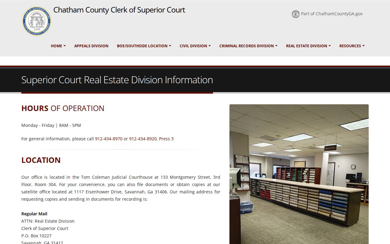
The capture points back to the official custodian, which matters when the online cutoff is not published.
Read Chatham County Deed Results
A GSCCCA result can show county, instrument type, parties, recording date and time, book/page, instrument number, legal-description references, transfer-tax details when supplied, and an image link under applicable account terms. The deed itself may add the return address, preparer, consideration, witnesses, notary, and the complete legal description. Preserve entity punctuation, initials, suffixes, and party roles.
The statewide Georgia deed index provides the search surface used for Chatham County.
This index begins the web search, while the clerk's free counter and historical records center complete the access chain.
The clerk also publishes a real-estate search and copy FAQ.
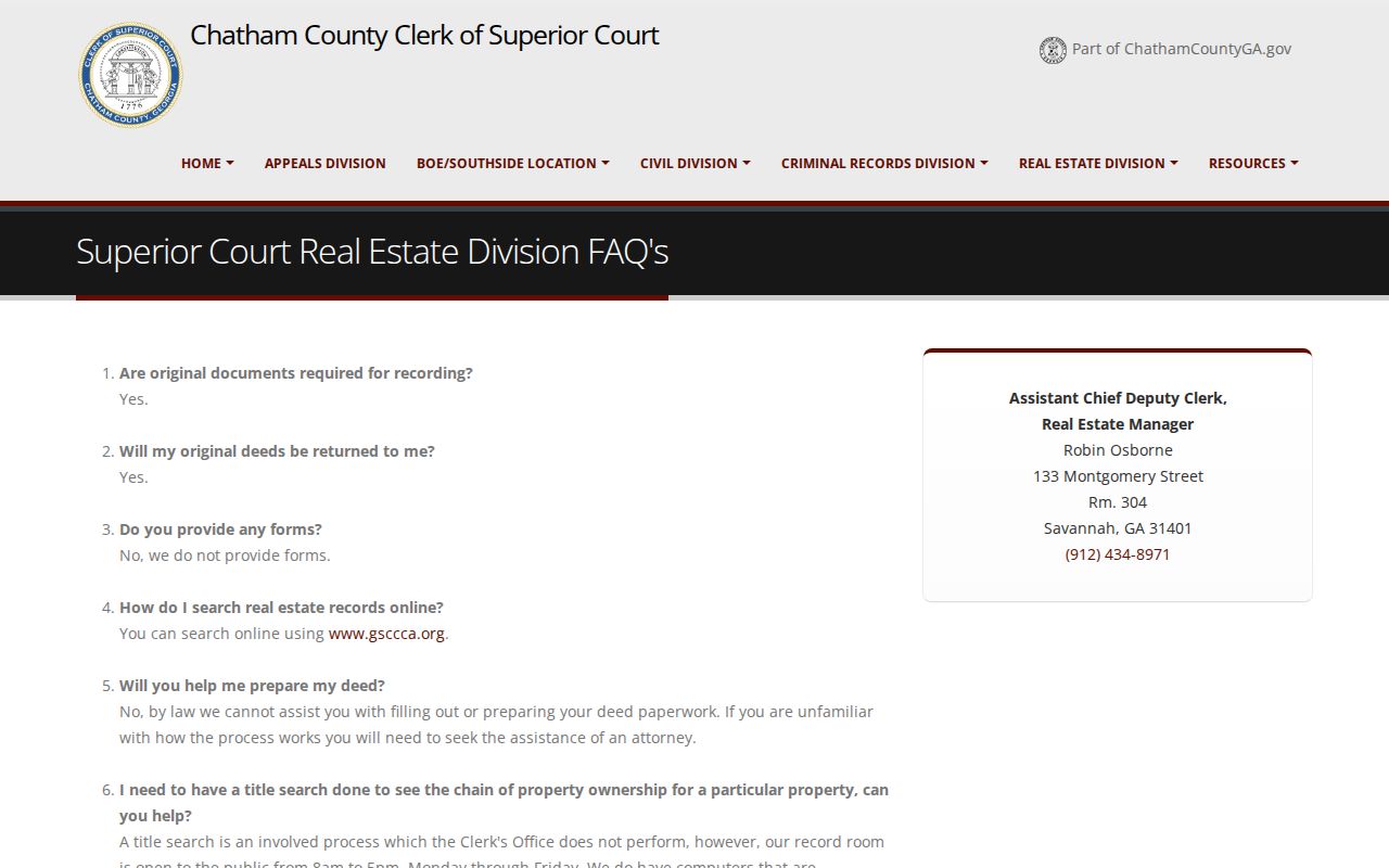
The FAQ confirms that staff do not conduct a title search and explains the counter, online, copy, and mail choices.
Ownership myth. Paying off a mortgage records a cancellation of security deed. It does not replace the warranty deed that conveyed ownership.
Reverse Chatham County Street History
Savannah's historical street indexes supply the true reverse-directory layer. The official city-directory guide says the street section is arranged by street and nearest cross street, then lists the person or business at each building. Begin with the closest available year, find the street, and scan by house number. Check the abbreviation key and the surrounding entries before deciding that two similar names represent one person.
Business-only volumes begin in 1848 and 1849, resident editions in 1850, and the free Digital Library of Georgia run covers 1871 through 1959. Bull Street Public Library's Kaye Kole Genealogy & Local History Room holds the official year list and physical sources. Historical collections are treated in depth on the Savannah city directory collections page.
Early volumes may separate or mark residents by race. Search every relevant section, especially for African American family history. A missing alphabetical entry does not prove the person was absent from Savannah.
Date Chatham County Address Changes
Permits and maps explain why an address record changes. Savannah permit files can identify an owner, applicant, contractor, project address, and work date. If the current Citizen Self Service interface does not return older material, send an exact-address request through the Savannah open-records portal. Name the department, record series, address, date range, and preferred electronic format. Georgia's Open Records Act requires a response within three business days, but it does not require the city to create a new compilation.
Historic downtown titles may use ward, tything, and trust-lot language. Later subdivisions tend to use lot and block. Other parcels use metes-and-bounds descriptions. These recorded terms can carry an identity across a changed street number. Savannah's Sanborn fire-insurance maps cover 1884 through 1973 and show footprints, materials, use, house and block numbers, street width, and property lines.
For neighborhood and jurisdiction context, the city's Open Neighborhoods map accepts an address.
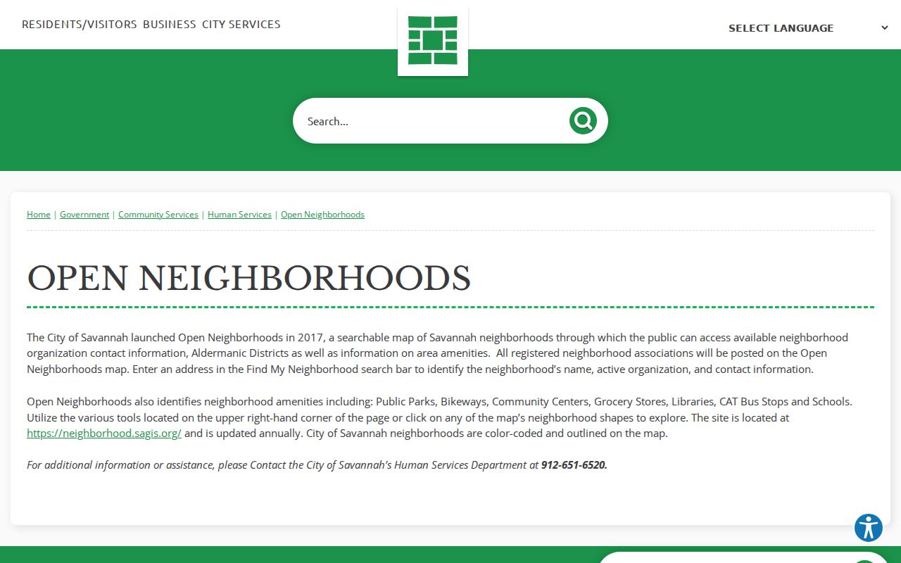
The map adds the named neighborhood, district, active organization contact, and civic amenities without exposing a private member roster.
Chatham County Voters by Street
Georgia My Voter Page is built for a person checking their own registration. It requires first initial, last name, county, and date of birth. It cannot scan a street. A public voter-list order can support lawful address analysis and asks the requester to choose active voters or active and inactive voters, Chatham County, and optional municipality, district, or precinct. Delivery is normally by emailed CSV in one to two weeks.
The public file may include name, residence and mailing address, status, registration date, precinct or district, and dates of participation. It omits telephone number, birth date, Social Security number, and driver-license number. Participation history never reveals ballot choices. Georgia voters do not register by party, and VoteSafe withholds qualifying protected addresses. Inactive status alone does not prove that a person moved.
Use the file as dated registration evidence. Never merge it with the parcel roll and call every name a current occupant.
Limits of Chatham Street Records
No Chatham County street directory identifies every person at every address. The assessor is an ownership and tax roll, not a census. SAGIS maps parcels, not households. Deeds show transfer parties. Permits show applicants and work. A voter file excludes nonvoters and protects VoteSafe addresses. Historical directories omit people and businesses, and optical character recognition can misread both names and house numbers.
When a search fails, retry spelling, initials, street suffixes, unit formats, former names, and dates. Then change channels: portal to counter, current index to archive, address text to PIN or legal description, and surname list to street index. Record the narrow result, such as “not found in this index under these terms,” rather than claiming no one lived there.
Lawful use. Chatham County address records support lawful personal, family, property, and civic research. Never use them to stalk, harass, intimidate, or harm anyone.
For a sound conclusion, seek two dated sources with matching identity signals. An assessor owner and deed grantee tied by the same legal description establish ownership far better than one loose name match. A directory entry can then establish period occupancy, while preserving the fact that an occupant was not always the owner.